Structured buildings and floors
Organize campuses by school, building, floor, room, and connected passage.
Turn floor plans into structured maps with rooms, doors, exits, stairs, elevators, hazards, and safety resources.
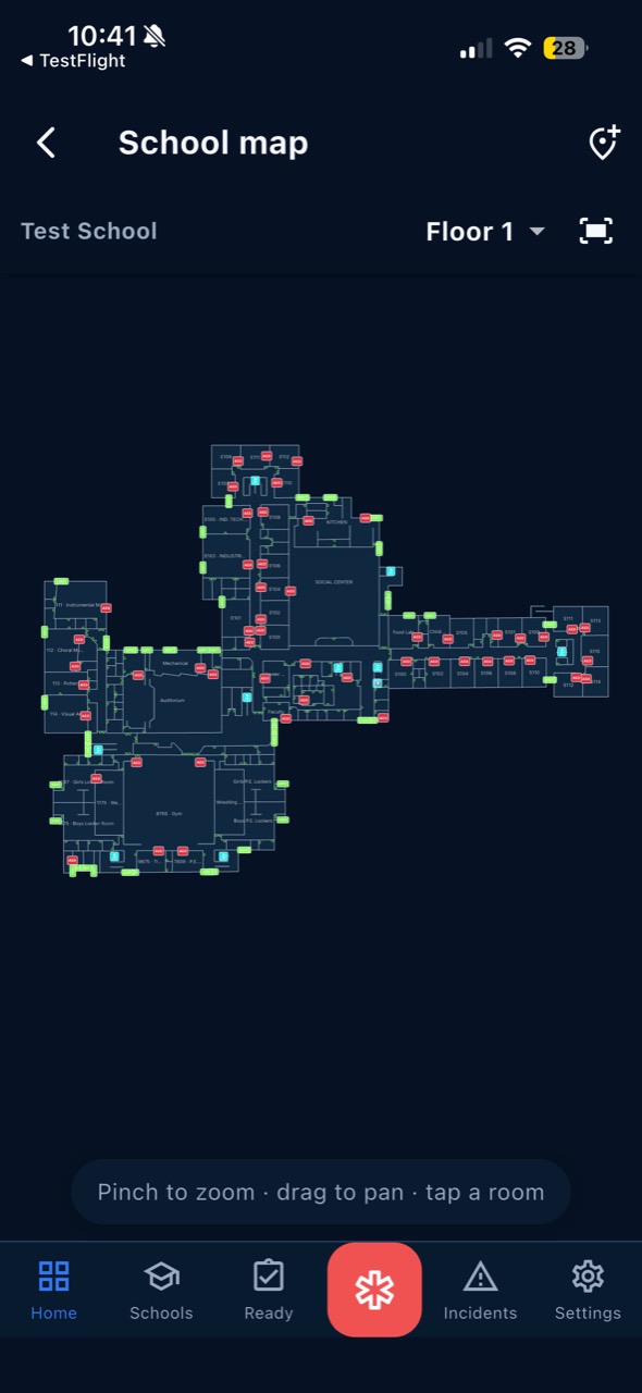
Atlas Response treats the school map as more than a static attachment. Published floors can help staff understand the building, select locations, identify safety assets, and use the same spatial reference during daily readiness and emergency response.
Organize campuses by school, building, floor, room, and connected passage.
Display items such as AEDs, exits, stairs, elevators, and other configured markers.
Prepare, review, release, and activate controlled map versions for staff use.
Atlas Response is configured around the procedures your district has already established.